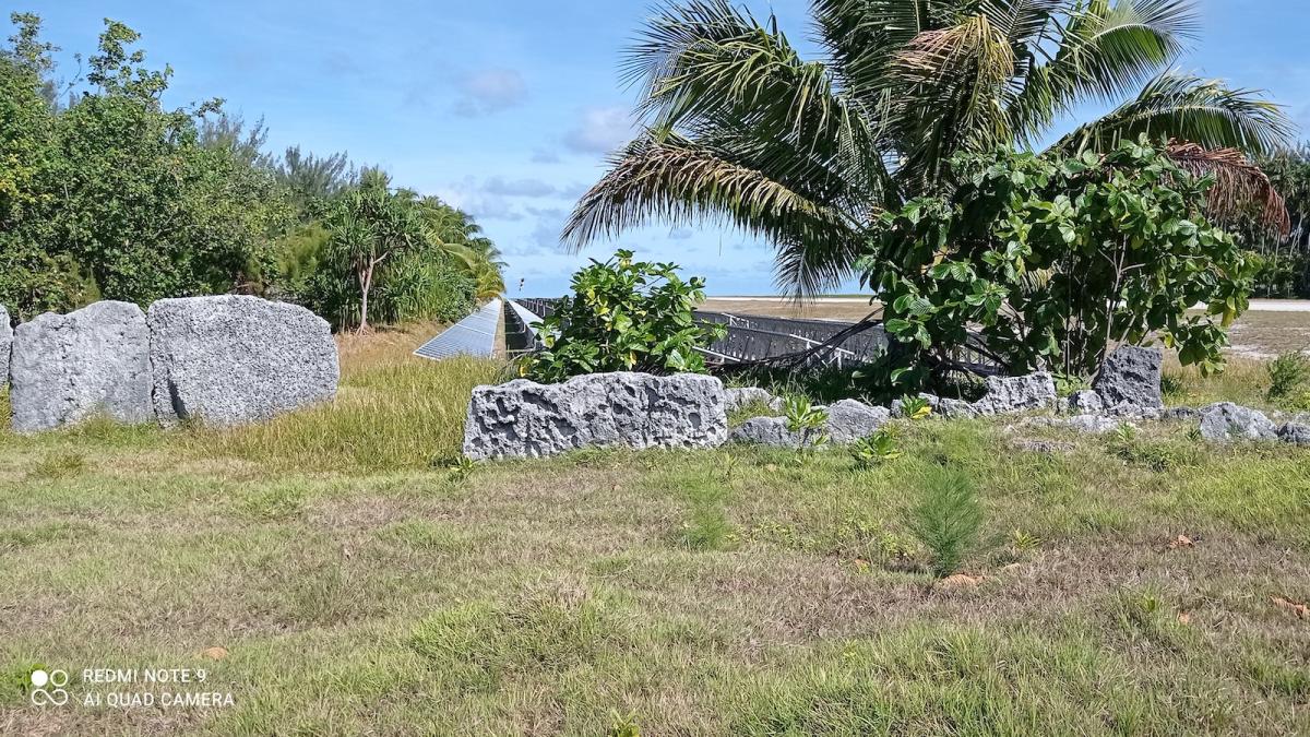
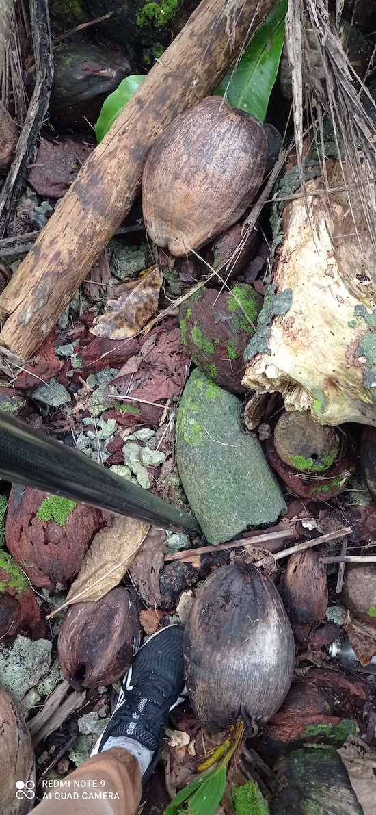
Williams plantation – motu Rimatu’u
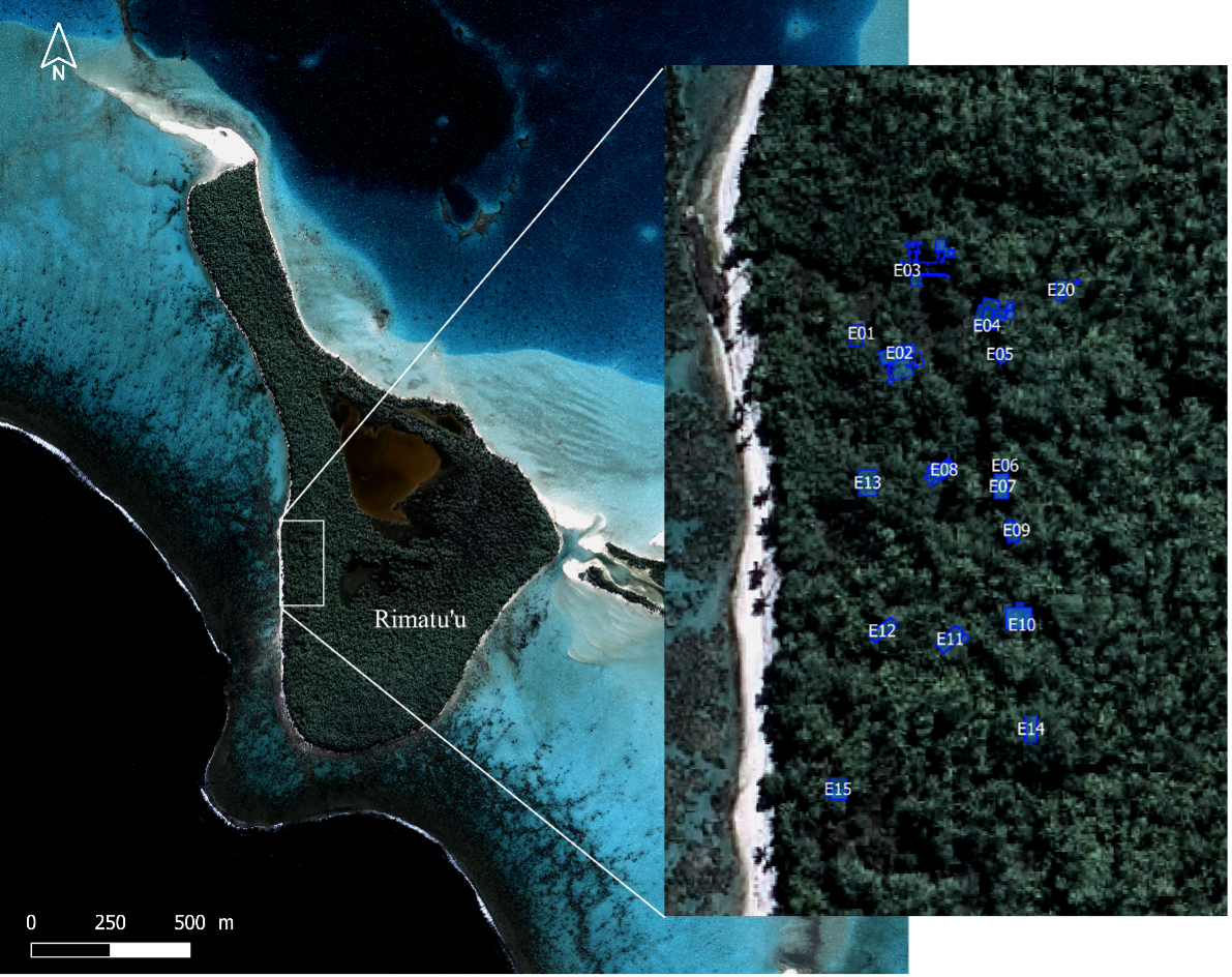
On this particular field mission, Inès will calibrate and record high resolution differential-GPS data on each one of the numerous archaeological sites from Teti’aroa. Based on those dGPS points, Inès will register the archaeological plans in order to be included in the Multi-thematic Teti’aroa online map (see the Williams plantation map).
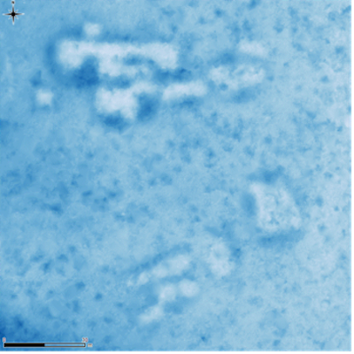
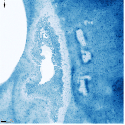
Potential maite sites on Tiaraunu (left) and Oroatera (right).
During this field mission, Inès will also check a few potential maite areas (cultivation pits dug by Polynesians), hidden under the vegetation, but clearly visible on DTM (digital terrain model) extracted from the 2017 lidar data (IDEA program)
Inès provided us with a first-hand view of her field work experience.
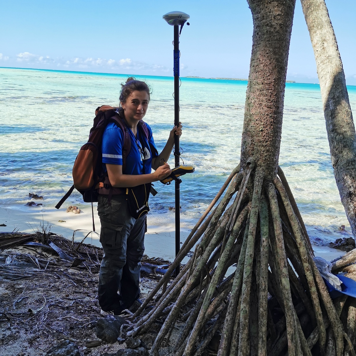
“In order to create a webmap of the various archaeological sites on Tetiaroa, we needed to measure their locations precisely using a GNSS receiver (known as GPS). The acquisition campaign took 11 days, from July 19th to July 30th. I went to Reiono, Rimatuu, Onetahi, Tiaraunu, Hiraanae, and Horoatera motu (islets) to map 45 archaeological sites."
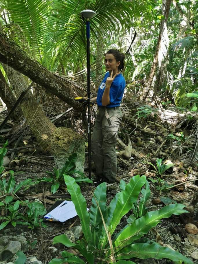
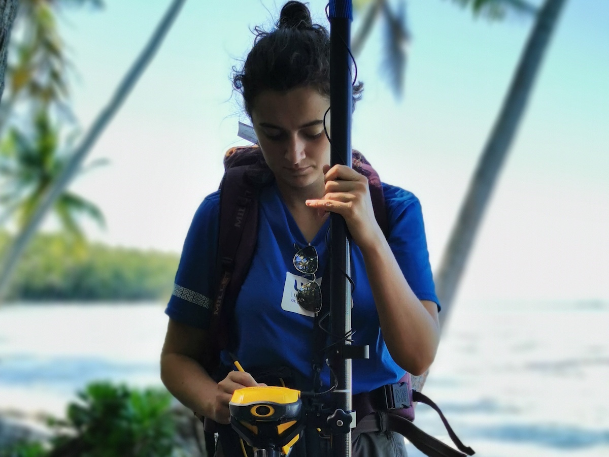
Photo: Before starting recording points at a site on Tiaraunuu, I needed to check the precision of the receiver.
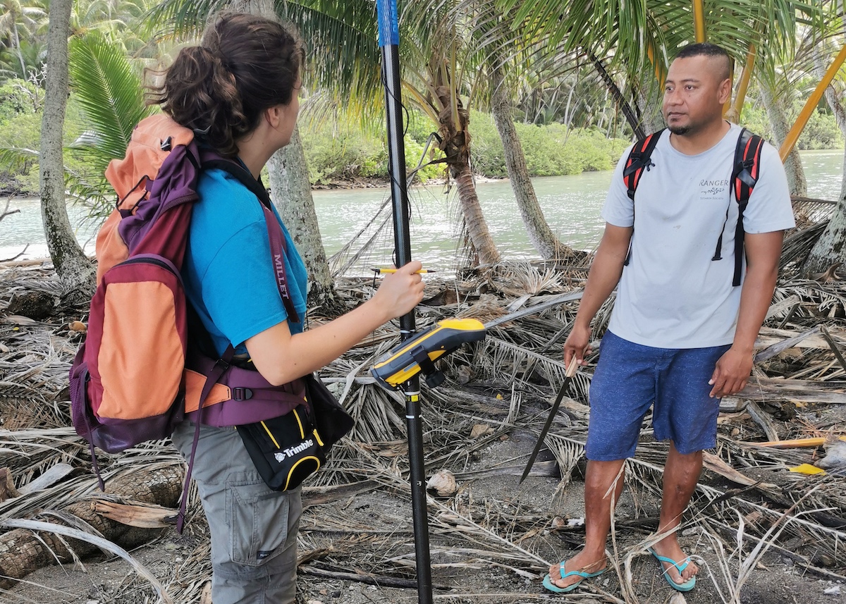
"The tricky part of this work was to find the archeological sites in the abandoned coconut grove of Tetiaroa. I received help from the Tetiaroa Society rangers who’d already been to the sites (many thanks to Luciano and Teva), as well as navigating using GPS points previously recorded by archaeologist Guillaume Molle and professor/researcher in remote sensing, Benoit Stoll."
Photo: Inès and TS Ranger Lusiano are recording a marking point for bones found on Horoatera
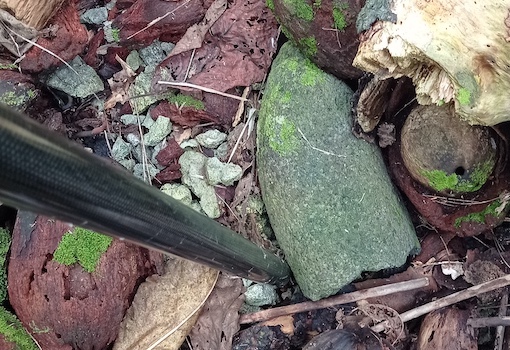
"Once a site had been found, I faced several difficulties: Some sites were very small, and we had to be watchful of any stones we found. Other sites were huge, like the marae “Apara” on Reiono which measures about 70 meters long and necessitated the removal of a lot of coconut palms which were hiding parts of the site. Luckily, I was helped by other interns, volunteers, and members of Tetiaroa Society. (Many thanks to Poeiti, Poevai, Moe, Hinano, Benoit and Pierrick). If I had been alone, it would have taken me longer."
"Moreover, the accuracy of some points was impaired by the dense vegetation above, blocking the satellite signal reception. Compensating for this effect was very challenging but I managed to get good accuracy by taking one point several times (keeping only the best point once back at the office) and by recording the points longer."
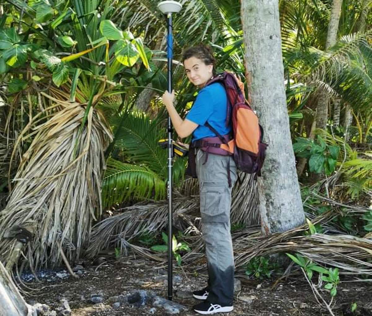
Photo: Waiting for the satellite to register a point from the platform on Tiaraunu.

"Finally, I can say it was not easy, but I managed to record all the archeological sites in the allotted time. Now that I have all the GPS points, I’ll be able to create the webmap from the archeologists' sketches by importing and registering them one by one. I’m excited to finish and publish this map.”
-Inès Pasquier, student in land surveying and geomatic at the ENSG (Ecole Nationale des Sciences Geographiques) and intern at the University of French Polynesia
This GIS will serve as both a scientific tool for archaeologists and researchers to visualize and create thematic maps of structures and implement an excavation strategy for the next years, and as a management tool for Tetiaroa Society. The inclusion of the sites coordinates and maps into the GIS will thus mark the completion of Phase 1 of the archaeological project conducted by the CIRAP (Centre International de Recherche Archéologique sur la Polynésie).
Marae on motu Onetahi - restored in 2019 and dedicated in 2020.
Phase 1 began in 2015 and consisted of extensive surveys of islets, recording and mapping of archaeological structures, and the production of maps and integration into GIS.
Phase 2 is anticipated to begin in either 2022 or 2023 with the aim of excavating a series of targeted sites around the island and paleoenvironmental work.
Phase 3 (the final phase) will include potentially restoring some sites with Tetiaroa Society.
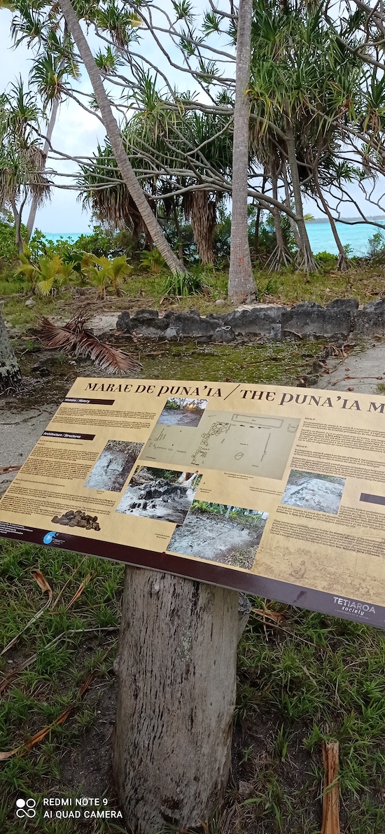
Explanation panel at the archaeological site of Puna'ia on Onetahi.
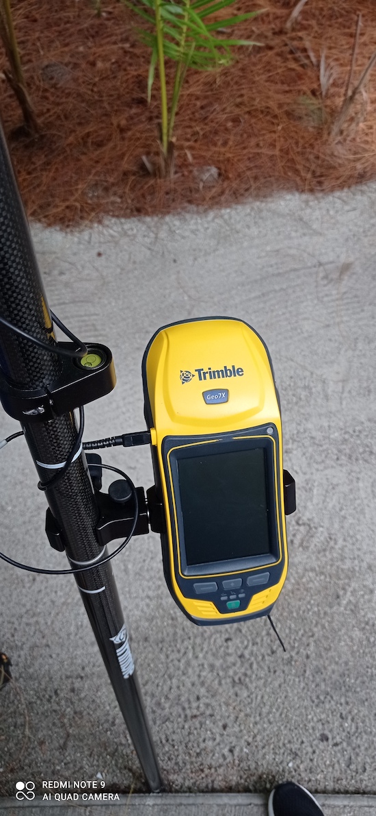
GPS Geo7X, the device that used with an antenna for recording GPS points.
Recording the gps location of an artifact
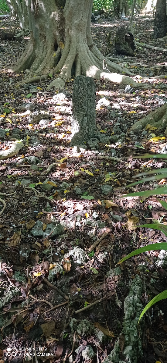
A marae on Reiono. The standing stone is visible in the center.
This important project is made possible thanks to the Seeley Family Foundation and SA Frangipani, the owner of Tetiaroa. You can learn more about the work that has been completed to date on our Archaeological Mapping and Restoration page. We’ll continue to update you on the team’s progress on our website.
Follow us on Instagram and Facebook for more photos, videos, and notes from the field. We look forward to learning more about Teti’aroa’s rich culture and the role it played in Tahitian history.