
This reminds me of an old joke that I read one time in a book of Irish humor.
A guy is driving down a country road and he sees a farmer in his orchard feeding his pigs. He slows down and watches the farmer taking one pig at a time, holding him up, letting him eat an apple out of the tree, and then setting him down before picking up another pig and doing the same. The guy pulls over, walks over to the fence and says to the farmer, "Wouldn't it save time to just knock all the apples on the ground and let the pigs eat them all at once?" The farmer, confused, looks at him and says, "But, what's time to a pig?"
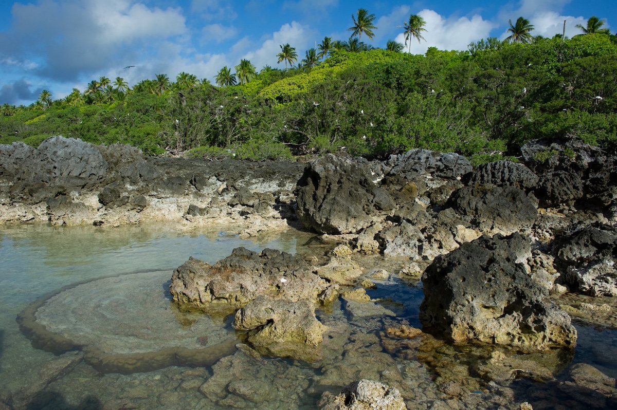
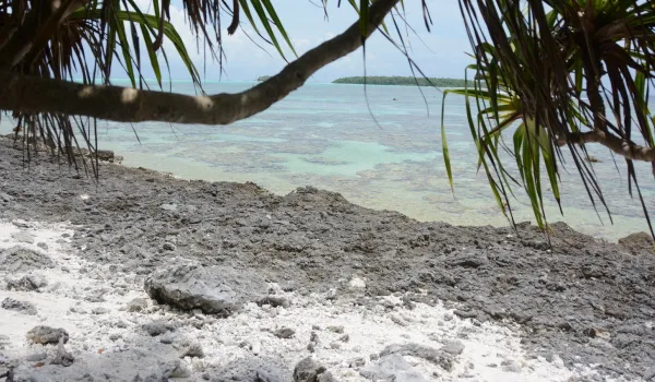
Calcium carbonate deposit from when sea levels were higher.
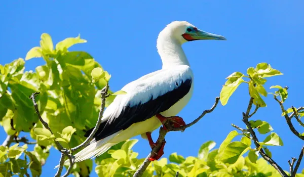
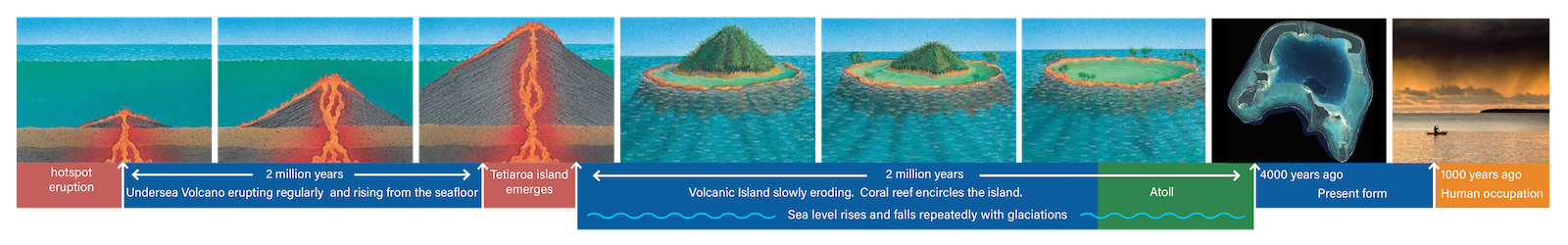
So, what is time to an atoll…? In the scheme of all things geologic, oceanic islands like Tetiaroa and Tahiti and Hawaii and young landforms. The geologic story of how atolls form can be read here, but suffice it to say that Tetiaroa is generally a normal atoll. Over the roughly 2.5 million years that Tetiaroa has been an island, it has experienced multiple changes in sea level. So the living coral reef would have shifted up and down with sea level, leaving a geological remnant wherever sea level paused long enough for calcium carbonate to accrete.
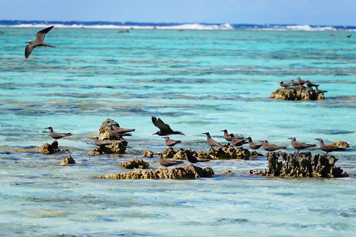
You can see from this graph that the situation that we see today has only happened a few times over the last 500,000 years, and only for short periods of time. At all other times, when sea level was below the present level the beautiful motu and lagoon that we enjoy would not have been around. During those times, everything within the perimeter of the barrier reef would have been above sea level, dry land, deeply eroded – with plants, and trees, and birds, and coconut crabs all over the place.
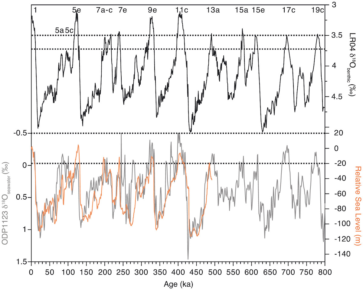
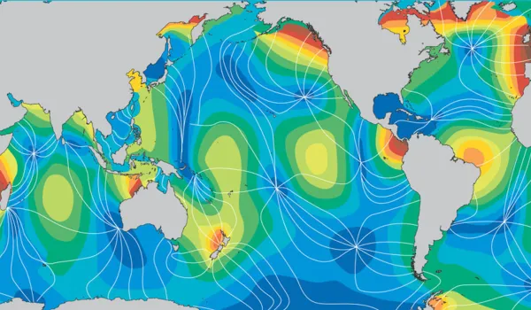
Definition of interglacials based on sea level.
source: Interglacials of the last 800,000 years
Sea level began to reach its present height around 4,000 years ago and it would have been only after that that motu could have begun to form. As sea level approached its present height the lagoon filled up again, all of the eroded limestone landscape was submerged, and the reef community created a barrier reef once again at the division between ocean and lagoon.
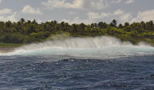
We tend to think of the coastlines of our lives as being somewhat permanent. But high energy events like tsunamis or cyclones (hurricanes), that might occur once every 500 years can change them very quickly. Evidence of cyclone driven waves is all over Tetiaroa.
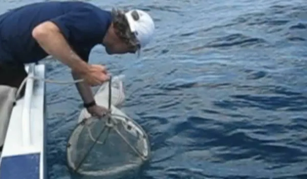
Large coral boulders on the north shore reef flat were deposited there by massive storm driven waves that may have been 10 meters or more. Likewise on the south shore the reef was broken up in three places by huge waves. One of those places forms the pass and adjacent boulder field in front on Motu Rimatuu.
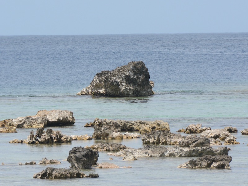
large coral boulder deposited by a storm wave
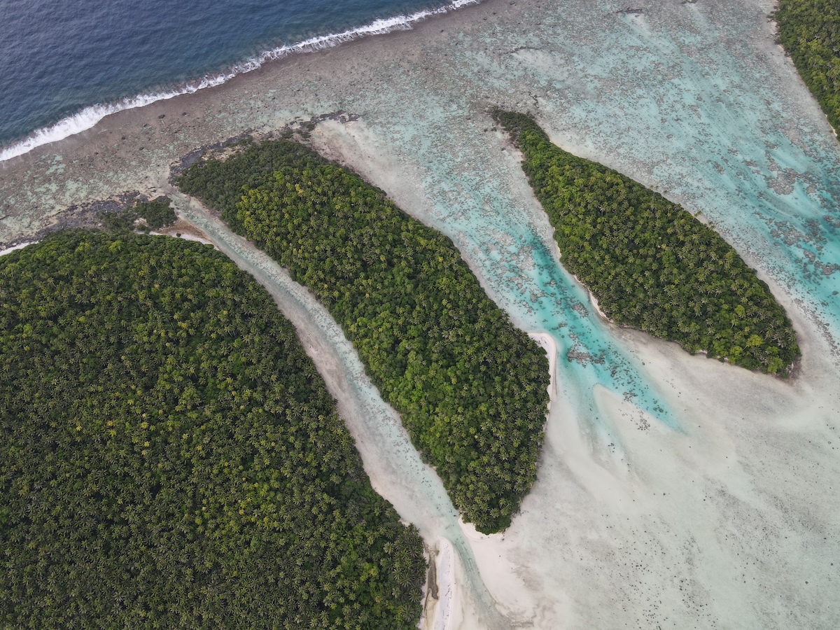
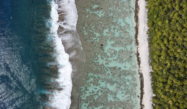
Once the motu developed on the back reef they were essentially cemented to the base rock with a moveable loose layer of sand and rocks on top. The beaches rearrange themselves with the seasons as storms coming from the south in the winter and north in the summer bring waves and currents through the lagoon.
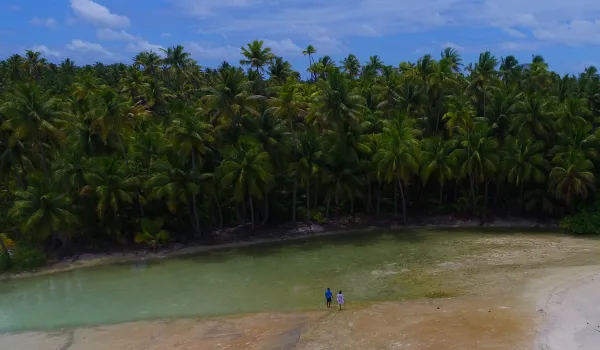
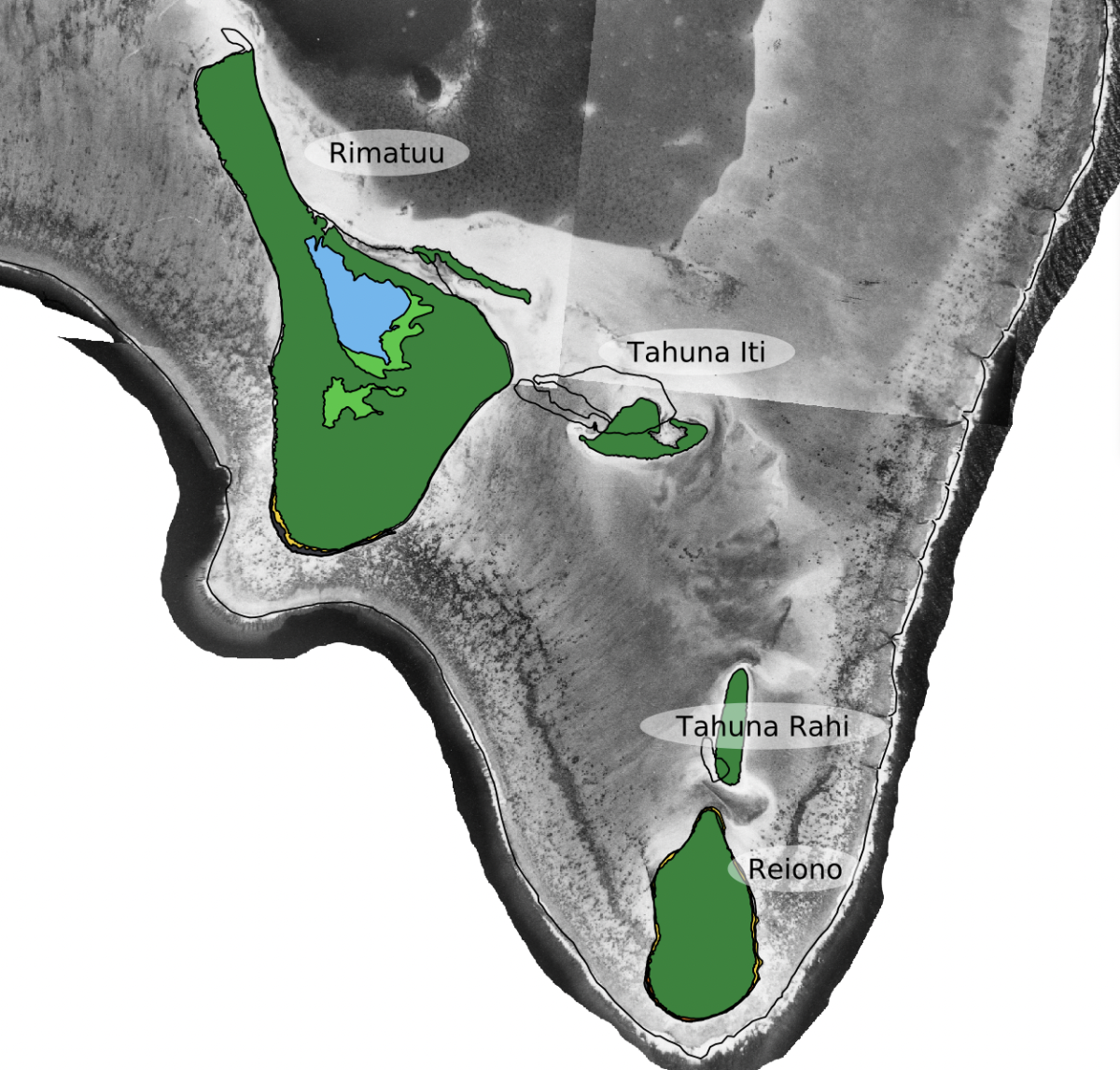
Tahuna Rahi and Iti, are sand cays that have no cemented base so the whole islet moves and changes shape over time. In this map (Stoll, 2021) you can see the 1955 area of Tahu Iti and Rahi in green, as well as another Tahuna off the north shore of Rimatu. By 2017 there are only 2 Tahuna left and they have changed size and positions dramatically.
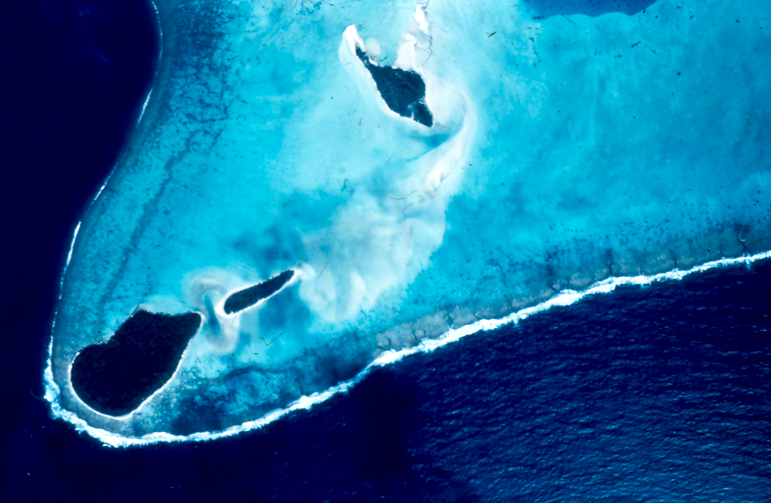
Aerial view of 2 tahuna from 1974
The future of Tetiaroa also depends on what us humans do. Under natural circumstances (given present tectonic plate motion) Tetiaroa would ride the Pacific Plate northwest for another 80 million years through tropical waters. When it exits the tropics at 23 degrees north the coral supporting the reef and motu would stop growing due to the colder water in the northern temperate zone (the same as what happened to the Hawaiian island chain). Tetiaroa would then slowly erode and sink to become a submerged atoll, or guyot.