
The program is based on the recommissioning and modernization of the measuring instruments installed by Van Oord and entrusted to the Tetiaroa Society: the tide gauge, the GNSS base and the multispectral drone. Its overall objective is to ensure the georeferential accuracy of the measurements, to monitor changes in sea level and the coastline, and to identify vulnerable areas, particularly turtle nesting sites exposed to erosion or rising water levels.
Summary of field activities
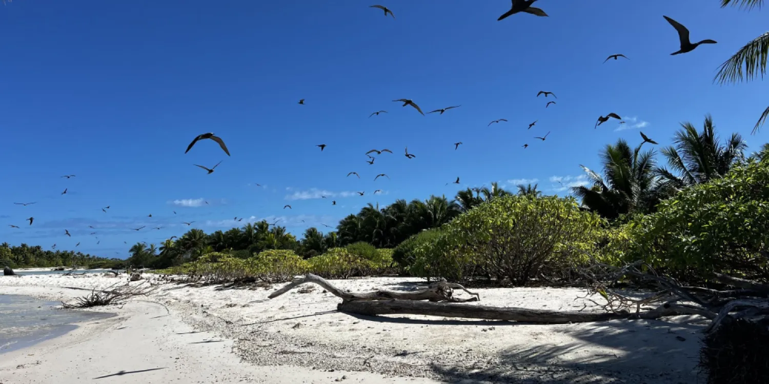
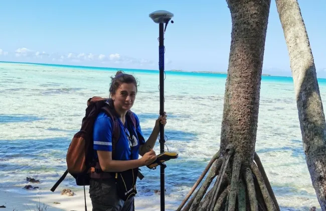
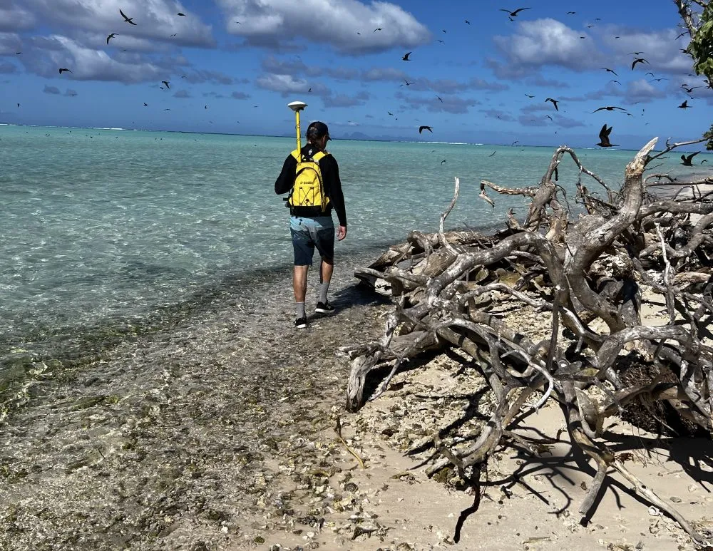
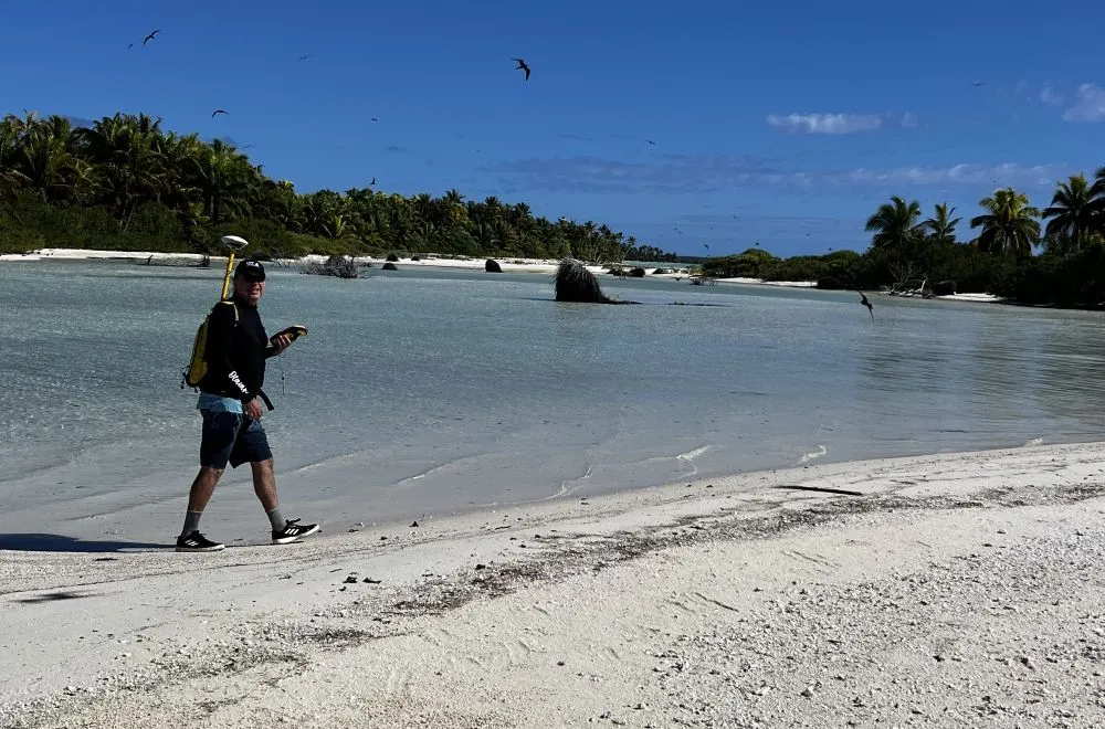
The mission, conducted between July and August 2025, took place on several motu: Onetahi, Tahuna Rahi, Tahuna Iti, Honuea and Aie. Corentin Cariou ensured the complete reinstallation and configuration of the tide gauge and the GNSS base, as well as the commissioning of the DJI Phantom 4 drone. The tide gauge, now fully functional, is once again recording sea level variations. A maintenance plan was defined and validated with the Tetiaroa Society to guarantee data continuity. The GNSS base, relocated to the EDT building's control room, allows for high-precision topographic surveys. Alignment tests carried out using a mobile base on the SWAC benchmark confirmed the quality of the measurements, despite limited internal memory.
Invited by the Tetiaroa Society, Dr. Benoît Stoll participated in the mission to verify the reliability of the measurements and recommend technical adjustments. In particular, he suggested connecting the GNSS base to the village's internet network to enable automatic data backup to Van Oord's FTP server, as well as its future integration into the network of territorial bases managed by DAF TOPO. He also recommended building a wooden shelter to protect the GNSS unit from the heat. The drone flights carried out on Aie, Tahuna Rahi, Tahuna Iti and Honuea made it possible to collect high-quality multispectral data, which will be compared with Pléiades and Pléiades Néo satellite images to assess their potential in monitoring erosion and coastal vegetation.
Impacts and preliminary results
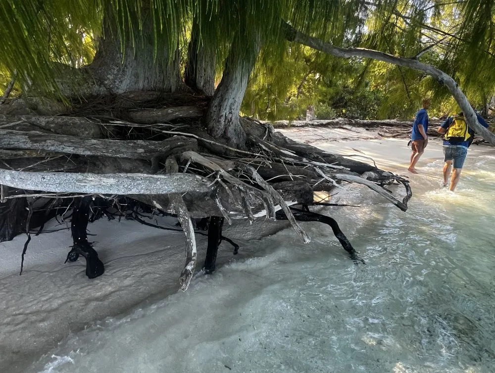
Initial checks show that the tide gauge and GNSS base are now fully operational and providing reliable data. The topographic surveys are sufficiently accurate for coastal monitoring, and the drone images confirm the possibility of combining aerial surveys and ground measurements for detailed mapping of coastal areas. The surveys carried out on the various motu already show interesting variations in coastal structure, particularly in the areas most exposed to marine dynamics. These initial observations confirm the strong potential of regular monitoring of erosion and vegetation across the atoll.
Perspectives
The next steps of the program consist of consolidating the observation network already in place. These include connecting the GNSS base to Van Oord's FTP server, rigorously implementing the tide gauge maintenance plan, and training several members of the Tetiaroa Society in drone piloting. These actions will ensure the continuity of topographic monitoring and strengthen local skills, in order to effectively support future scientific missions.