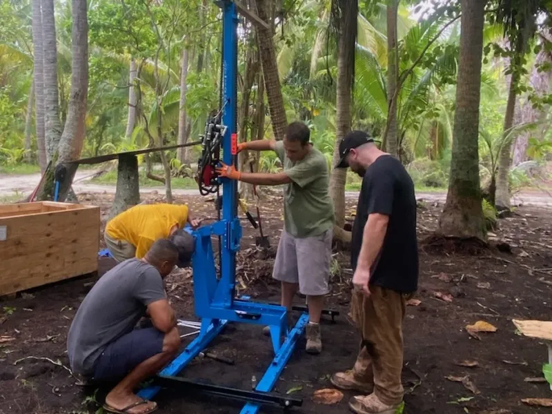

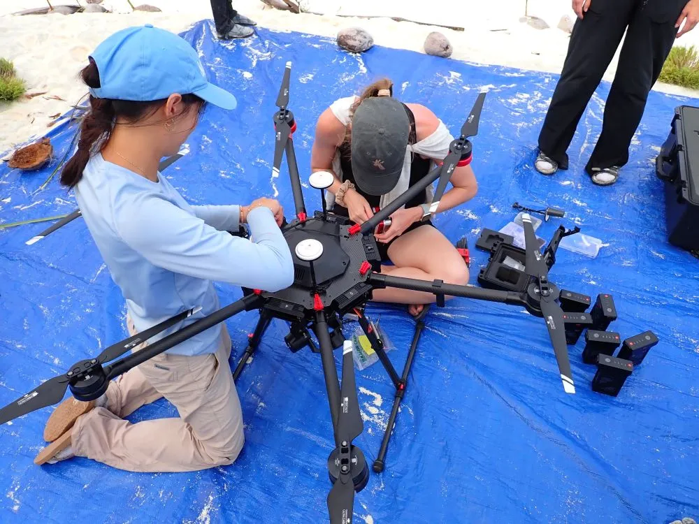
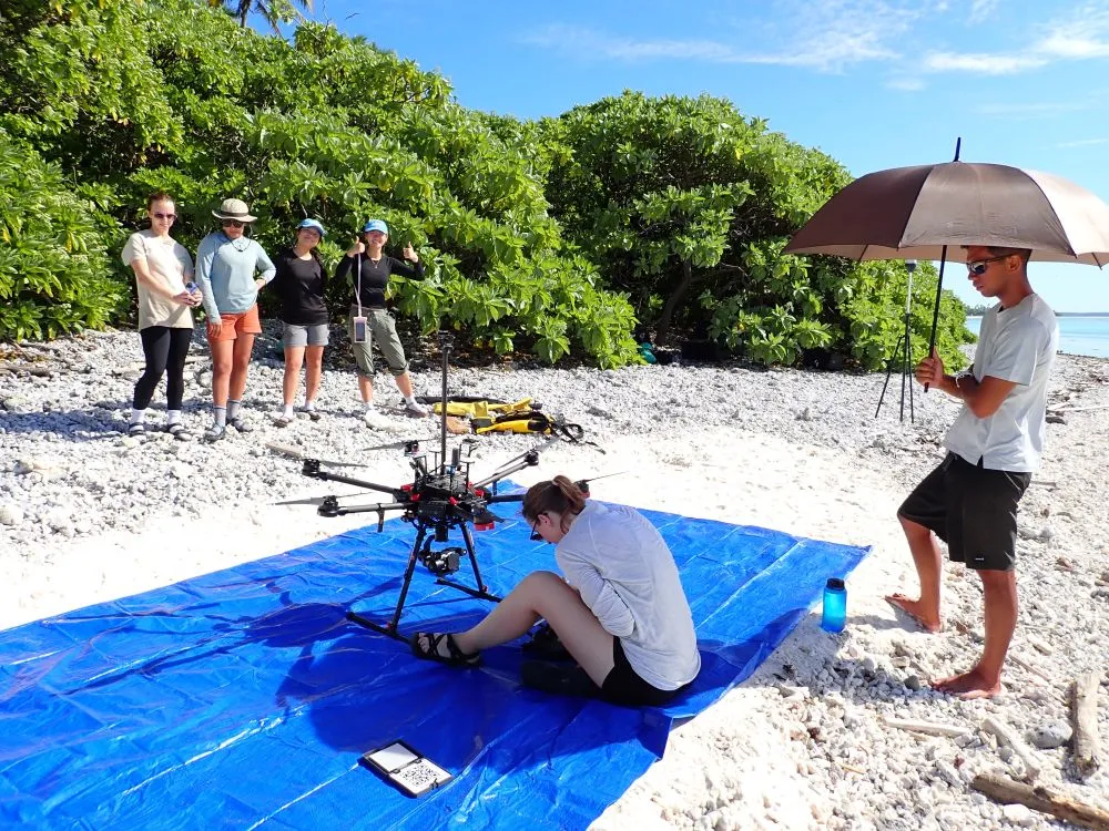
The study aims to measure evapotranspiration, the volume of the groundwater lens, and recharge rates of this fragile resource on Tetiaroa. To achieve this, the team is using a drone capable of simultaneously capturing thermal and meteorological data, as well as an electromagnetic induction device (ABEM GroundTEM) used to probe the freshwater lens from the surface, without drilling or disturbing the ground. The main hypothesis is that forests composed solely of coconut palms lead to higher evapotranspiration and lower recharge than native broadleaf forests.
Summary of field activities
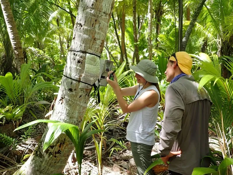
The first mission took place from July 9 to 23, 2025, on the atoll of Tetiaroa. The team conducted its work on several motu, including Reiono, Tiaraunu, and Tahuna Iti, with additional surveys planned for Ahuroa, Tauvini, Hiraanae, Horoatera, Rimatuu, Aie, and Honuea. The researchers combined drone flights to obtain thermal and multispectral images of the canopy and atmosphere with ground-based geophysical measurements using the EMI device. These operations aim to link measured water fluxes to island morphology and vegetation types, building on existing data from sap flow sensors installed by Michael Burnett.
Impacts and preliminary results
No full report has yet been submitted. The July 2025 mission was an initial test phase designed to validate the feasibility of remote sensing methods applied to atoll hydrology in the field. The team highlighted the excellent logistical organization in place at Tetiaroa and indicated its intention to continue the program, with a likely return in 2026.
Perspectives
This program, still in its early stages, paves the way for a new approach to monitoring freshwater resources in island environments. The data collected on Tetiaroa should make it possible to model the dynamics of the freshwater lens and assess the impact of climate change on its recharge. Ultimately, these methods could be replicated on other Pacific atolls, providing a valuable tool for sustainable aquifer management and environmental planning.